Brick Township Water Supply Master Plan
As the basis for a 20-year water supply master plan, Hazen and Sawyer (as a subcontractor) performed a suite of modeling studies under a set of climate change scenarios for Brick Township Municipal Utilities Authority (BTMUA).
Our Work
BTMUA’s primary concern is an increase in source water salinity due to the dual threats of sea level rise and watershed urbanization. Hazen developed statistical models to generate long-term salinity projections, which were then used in a systems model to evaluate the effectiveness of various structural changes to water supply infrastructure.
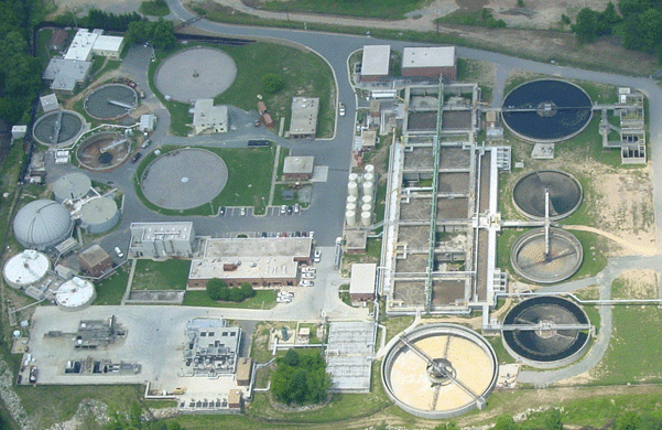
BTMUA provides potable water to approximately 100,000 customers in five municipalities. BTMUA’s water supply primarily comes from the Metedeconk River.
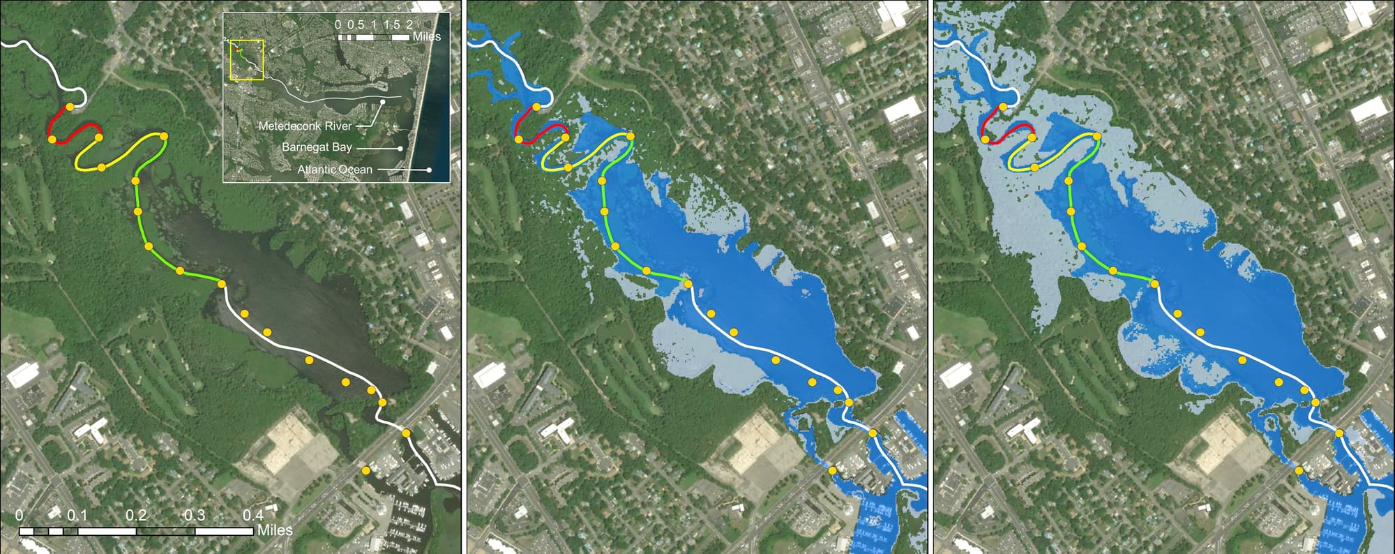
Over the last 20 years, a comprehensive monitoring program has revealed steady increases in both the salinity of the Metedeconk and the location of the salt front, which can at times render river water untreatable. When the salt front encroaches within approximately 1000 feet of the intake, BTMUA draws upon its alternate sources. The frequency of these encroachments has increased in recent years, particularly in late summer, when lower river levels tip the balance between tidal forces and streamflow in the upstream direction. Compounding the problem is the tendency of these conditions to occur during times of drought when water is already at a premium.
A long-term tidal record, developed by Hazen, indicated approximately 11 inches of sea level rise over the past 84 years and demonstrated a clear correlation with the frequency of salt front encroachments. Following an extensive literature review, Hazen developed a regression model using the tidal data and long-term streamflow data. The model was calibrated against historical observations and then forced with future projections of sea level rise to estimate potential increases in encroachment frequency over the next 20 years.
The results were striking. Under the most recent intermediate sea level rise scenario from NOAA, which projects a surprising 1 foot of sea level rise for the area by 2040, salt front encroachments that preclude the use of the intake were predicted to occur as much as 197 days out of the year under drought conditions.
The second phase of the study involved using these projections to drive a systems model developed on the OASIS platform. Adaptation alternatives representing structural changes to system capacity were evaluated through simulations based on both present-day and projected future climatic scenarios. The results of the simulations were presented to BTMUA in a workshop facilitated by user-friendly plots of variables such as diversions and total system storage, which provided insight into the reasons behind potential shortfalls.
Ultimately, the master plan recommended a “no regrets” strategy that pursues alternatives found to offer benefits regardless of the climate scenario that plays out. Following the project, the OASIS model was turned over to BTMUA so it could be leveraged for future planning assessments.
Project Outcomes and Benefits
- Diagnosis of system stressors based on intensive data analysis and satellite imagery.
- Development of long-term hydrologic predictions under climate change scenarios using relatively simple and transparent statistical models.
- Optimization of operational procedures based on input from utility personnel, regulatory and hydrologic constraints, and iterative modeling of safe yield.
- Detailed systems modeling providing insight into system bottlenecks, allowing for objective comparisons of alternatives, and serving as guidance for no regrets decisions.
- Deliverables included training for BTMUA staff and an Excel-based Analytical Dashboard, developed in-house, for data exploration and visualization.