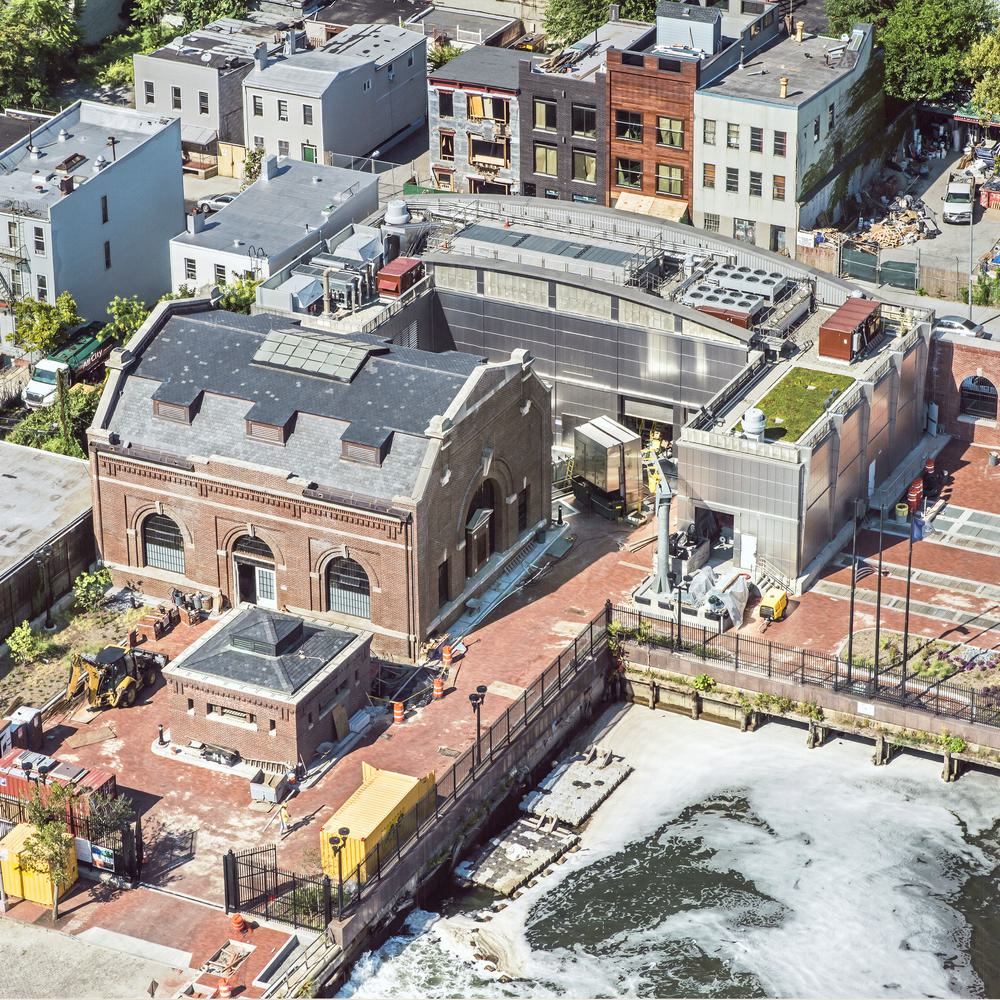
Upper Monongahela Basin Wet Weather Facilities Planning
The Allegheny County Sanitary Authority (ALCOSAN) entered into a Consent Decree to formalize measures necessary to comply with the Clean Water Act, the Clean Streams Law, the terms of their NPDES Permit, and local Rules and Regulations. In addition, the State and County agencies entered into separate municipal consent orders and agreements with the 83 municipalities serviced by ALCOSAN, including Pittsburgh. Hazen and Sawyer is leading a team of engineers, modelers, specialists, and eight subconsultants to plan facilities to address wet weather issues in the Upper Monongahela drainage basin in Allegheny County, Pennsylvania for ALCOSAN.
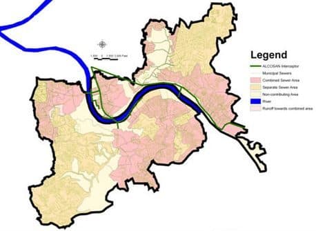
Situated along the north and south sides of the Monongahela River, the Upper Monongahela Basin encompases nearly 19,500 acres of combined and separate sewer systems across twenty municipalities, and thirty individual sewersheds. ALCOSAN’s CSOs and Municipal CSOs and SSOs currently discharge over 1.5 billion gallons in a typical year.
ALCOSAN’s Consent Decree stipulates actions required to comply with CSO Policy and eliminate SSOs. The Consent Decree and Municipal Orders require cooperation in completing the Wet Weather Plans.
Existing Conditions Evaluation
Under this task, Hazen and Sawyer established the conditions of the existing infrastructure from which the Upper Monongahela Facilities Planning analysis and recommendations were developed. The work includes identification of planning basin characteristics, review of available background information, collection systems GIS mapping, identification and summary of Municipal and County planning documents, and Municipal data coordination and information exchange.
Hydrologic and Hydraulic Modeling
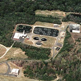
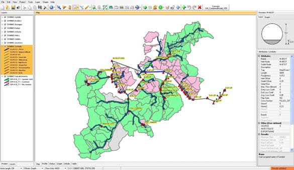
Hazen and Sawyer lead the development and calibration of a hydrologic and hydraulic collection system model (USEPA SWMM 5) for the Upper Monongahela planning basin and was responsible for conversion of a portion of the City of Pittsburgh’s existing InfoWorks CSTM model. The model ultimately includes over 32 miles of pipes, including all CSOs and SSOs. The calibrated model will be critical to the evaluation of CSO and SSO controls in the collection system.
Facilities Planning
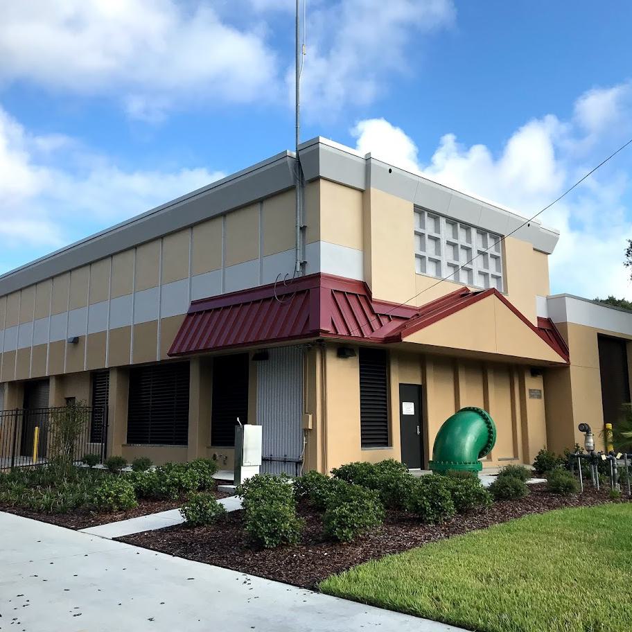
Facilities planning to eliminate SSOs and comply with Federal CSO Policy will be completed utilizing the understanding gained from the existing conditions evaluation, public participation and Municipal coordination, and the calibrated hydrologic and hydraulic model. Key steps in facilities planning include establishing CSO/SSO goals, preliminary alternatives screening, alternatives analysis, site assessments, feasibility and present worth analyses, Knee-of-the-Curve evaluation, and development of a recommended implementation schedule. This process will include considerable coordination with ALCOSAN, their Wet Weather Plan Program Manager, their Basin Coordinator and six other Basin Planners, as well as regulatory, county agency, municipal and public stakeholders and the 3 Rivers Wet Weather Demonstration Program. A final facilities plan report will be developed for the Upper Monongahela planning basin, which will be incorporated into ALCOSAN’s Regional Wet Weather Plan.
Public Participation and Municipal Coordination
Public participation and Municipal coordination programs are being developed specifically for the Upper Monongahela planning basin. The Municipal Coordination Program will identify stakeholders, develop Municipal working partnerships, facilitate information sharing, and satisfy regional coordination Consent Decree requirements.
The Upper Monongahela Public Participation Program will augment ALCOSAN’s public participation and Municipal outreach efforts in the region by setting values and priorities for Upper Monongahela wet weather planning, identifying opportunities for cost savings, source reduction, and recreational usage within the planning basin, and building public understanding and support for the plan.

Peter Young serves as Hazen’s corporate CSO Group Leader, and his areas of expertise include CSO facility planning and design, BNR planning and design, and wastewater treatment.
Related Solutions:
Project Outcomes and Benefits
- Hazen and Sawyer established the conditions of the existing infrastructure by meeting with each of the 20 customer municipalities and authorities in the basin, reviewing available documentation, conducting field surveys, and updating GIS mapping, forming the basis from which the Upper Monongahela Facilities Planning analysis and recommendations is being developed.
- Hazen and Sawyer led the development and calibration of a hydrologic and hydraulic collection system model (USEPA SWMM 5) for the Upper Monongahela planning basin. The model includes over 12 miles of combined sewers and over 20 miles of separate sewers, as well as 30 ALCOSAN CSOs and 20 municipal overflows.
- Facilities planning to eliminate SSOs and comply with Federal CSO Policy will be completed.
- Public participation and Municipal coordination programs will identify stakeholders, develop Municipal working partnerships, facilitate information sharing, and satisfy regional coordination Consent Decree requirements.