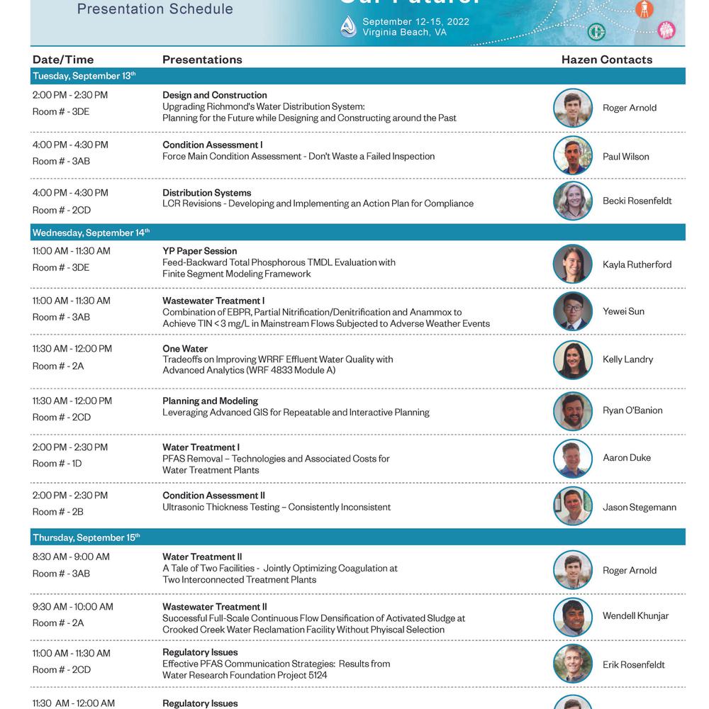
Ryan O’Banion, GISP
Associate Vice President

As Director of Geospatial Services at Hazen, Ryan coordinates with teams across the firm and practice areas to ensure clients obtain the ideal GIS solution for their needs. Ryan is an environmental scientist who uses GIS and data analysis to help clients make more informed decisions about their water infrastructure and resources. He specializes in integrating Esri software, Microsoft Power BI, Python, and R to provide lasting and impactful deliverables that enable utilities to capitalize on their locational data insights.
- Areas of Expertise
- Geographic information system (GIS)
- Geospatial analysis
- Planning and prioritization
- Applied data analysis
- Stormwater and watershed management
- Professional Activities
- Water Environment Federation (WEF)
- Virginia Water Environment Association (VWEA)
- Chesapeake Water Environment Association (CWEA)
- Education
- MEM, Water Resources, Duke University
- BS, Environmental Studies, Bates College
- Certification/License
- Geographic Information Systems Professional (GISP)